The northern half of the Plain of Meigh viewed from the slopes of Slieve Gullion
Introduction
The photograph on this page of The northern half of the Plain of Meigh viewed from the slopes of Slieve Gullion by Eric Jones as part of the Geograph project.
The Geograph project started in 2005 with the aim of publishing, organising and preserving representative images for every square kilometre of Great Britain, Ireland and the Isle of Man.

There are currently over 7.5m images from over 14,400 individuals and you can help contribute to the project by visiting https://www.geograph.org.uk
The northern half of the Plain of Meigh viewed from the slopes of Slieve Gullion
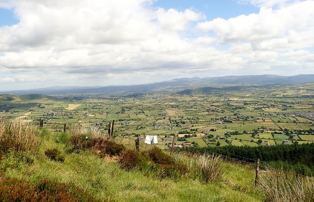
Image: © Eric Jones Taken: 21 Jun 2018
The line of hills in the middle distance is the eastern part of the Ring of Gullion. Beyond in the distance are the Mourne Mountains and the Slieve Croob Range.
Images are licensed for reuse under creativecommons.org/licenses/by-sa/2.0
Image Location
Latitude
54.125883
Longitude
-6.38979