A glimpse of the Swale
Introduction
The photograph on this page of A glimpse of the Swale by Gordon Hatton as part of the Geograph project.
The Geograph project started in 2005 with the aim of publishing, organising and preserving representative images for every square kilometre of Great Britain, Ireland and the Isle of Man.

There are currently over 7.5m images from over 14,400 individuals and you can help contribute to the project by visiting https://www.geograph.org.uk
A glimpse of the Swale
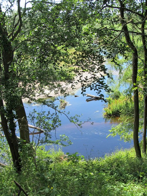
Image: © Gordon Hatton Taken: 24 Jun 2018
Downstream from Catterick Bridge, the Swale is a rather secretive river being crossed by just 7 road bridges before it joins forces with the Ure below Myton. Riverside paths are few and much of the countryside hereabouts is either intensive farmland or on large estates. Here's a glimpse of the river below Great Langton.
Images are licensed for reuse under creativecommons.org/licenses/by-sa/2.0
Image Location
Latitude
54.360102
Longitude
-1.543394