Parkland at Pitfour
Introduction
The photograph on this page of Parkland at Pitfour by Anne Burgess as part of the Geograph project.
The Geograph project started in 2005 with the aim of publishing, organising and preserving representative images for every square kilometre of Great Britain, Ireland and the Isle of Man.

There are currently over 7.5m images from over 14,400 individuals and you can help contribute to the project by visiting https://www.geograph.org.uk
Parkland at Pitfour
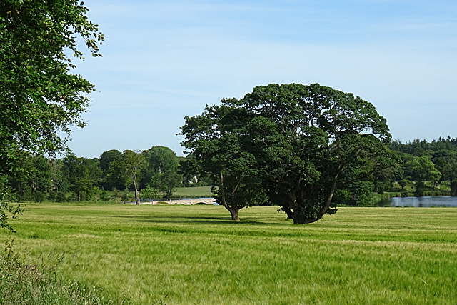
Image: © Anne Burgess Taken: 25 Jun 2018
The land is now under cultivation, but in its heyday this was part of the vista of lawns sweeping down to the shore of the lake from the mansion house.
Images are licensed for reuse under creativecommons.org/licenses/by-sa/2.0
Image Location
Latitude
57.531233
Longitude
-2.038228