The Westlink, York Street, Belfast
Introduction
The photograph on this page of The Westlink, York Street, Belfast by Albert Bridge as part of the Geograph project.
The Geograph project started in 2005 with the aim of publishing, organising and preserving representative images for every square kilometre of Great Britain, Ireland and the Isle of Man.

There are currently over 7.5m images from over 14,400 individuals and you can help contribute to the project by visiting https://www.geograph.org.uk
The Westlink, York Street, Belfast
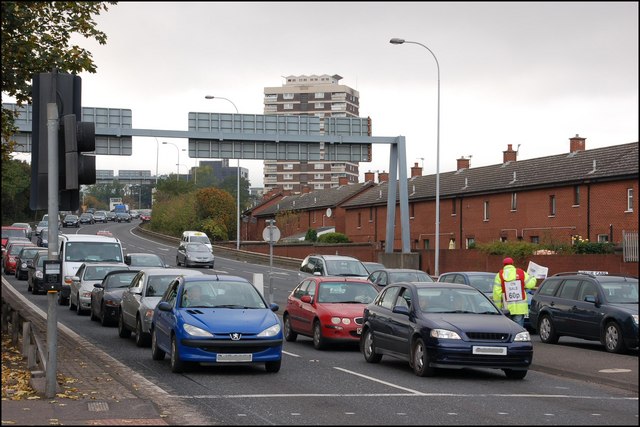
Image: © Albert Bridge Taken: 11 Oct 2007
The Westlink Image from the M1 ends here, at York Street, at an “at-grade” junction. There are vague plans to build a flyover to join it to the M2 Image
Images are licensed for reuse under creativecommons.org/licenses/by-sa/2.0
Image Location


Leaflet Map data © OpenStreetMap
Latitude
54.607062
Longitude
-5.926947