Junction of High Street and Fellows Lane, Caergwrle, Flintshire
Introduction
The photograph on this page of Junction of High Street and Fellows Lane, Caergwrle, Flintshire by Jaggery as part of the Geograph project.
The Geograph project started in 2005 with the aim of publishing, organising and preserving representative images for every square kilometre of Great Britain, Ireland and the Isle of Man.

There are currently over 7.5m images from over 14,400 individuals and you can help contribute to the project by visiting https://www.geograph.org.uk
Junction of High Street and Fellows Lane, Caergwrle, Flintshire
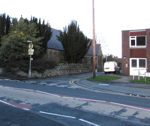
Image: © Jaggery Taken: 29 Jan 2018
Viewed across the A541 High Street from the corner of Bryn Yorkin. Caergwrle Presbyterian Chapel https://www.geograph.org.uk/photo/5819246 is on the left. Tegfan Court https://www.geograph.org.uk/photo/5819168 is on the right.
Images are licensed for reuse under creativecommons.org/licenses/by-sa/2.0
Image Location
Latitude
53.110051
Longitude
-3.039538