Dune-ridge view
Introduction
The photograph on this page of Dune-ridge view by Evelyn Simak as part of the Geograph project.
The Geograph project started in 2005 with the aim of publishing, organising and preserving representative images for every square kilometre of Great Britain, Ireland and the Isle of Man.

There are currently over 7.5m images from over 14,400 individuals and you can help contribute to the project by visiting https://www.geograph.org.uk
Dune-ridge view
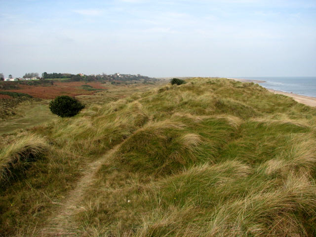
Image: © Evelyn Simak Taken: 11 Oct 2007
On the horizon at left (west) houses on Bush Road can be discerned. One of the many paths running parallel to the dunes and the beach leads through the valley seen below (at left), called The Valley. The dunes form a barrier between the high water mark and the ridge on which the houses stand. During the second half of the 20th century the coastline has changed in that some of the dunes have eroded. The area is mostly situated at approximately sea level and erosion and flooding are constant potential risks to the village.
Images are licensed for reuse under creativecommons.org/licenses/by-sa/2.0
Image Location
Latitude
52.709379
Longitude
1.701172