Rivet bench mark by Foul Syke ford
Introduction
The photograph on this page of Rivet bench mark by Foul Syke ford by John S Turner as part of the Geograph project.
The Geograph project started in 2005 with the aim of publishing, organising and preserving representative images for every square kilometre of Great Britain, Ireland and the Isle of Man.

There are currently over 7.5m images from over 14,400 individuals and you can help contribute to the project by visiting https://www.geograph.org.uk
Rivet bench mark by Foul Syke ford
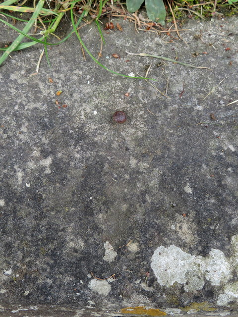
Image: © John S Turner Taken: 17 Jun 2018
This rivet bench mark is on the stonework that carries the footpath over Foul Syke, next to the Barmoor Lane ford. The usual arrowhead is very indistinct. See also Image
Images are licensed for reuse under creativecommons.org/licenses/by-sa/2.0
Image Location
Latitude
54.306354
Longitude
-0.450787