Approach to Birstall along Birstall Road
Introduction
The photograph on this page of Approach to Birstall along Birstall Road by Wesley Trevor Johnston as part of the Geograph project.
The Geograph project started in 2005 with the aim of publishing, organising and preserving representative images for every square kilometre of Great Britain, Ireland and the Isle of Man.

There are currently over 7.5m images from over 14,400 individuals and you can help contribute to the project by visiting https://www.geograph.org.uk
Approach to Birstall along Birstall Road
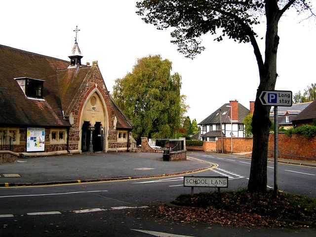
Image: © Wesley Trevor Johnston Taken: 11 Oct 2007
The old National School on the left (built in 1860) is now the Birstall Village Hall.
Images are licensed for reuse under creativecommons.org/licenses/by-sa/2.0
Image Location
Latitude
52.674899
Longitude
-1.120414