Side view of the Downshire Presbyterian Road, Newry
Introduction
The photograph on this page of Side view of the Downshire Presbyterian Road, Newry by Eric Jones as part of the Geograph project.
The Geograph project started in 2005 with the aim of publishing, organising and preserving representative images for every square kilometre of Great Britain, Ireland and the Isle of Man.

There are currently over 7.5m images from over 14,400 individuals and you can help contribute to the project by visiting https://www.geograph.org.uk
Side view of the Downshire Presbyterian Road, Newry
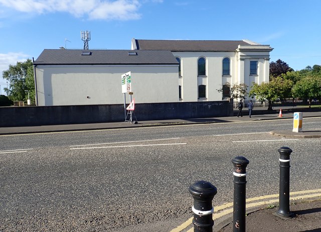
Image: © Eric Jones Taken: 21 Jun 2018
The image was taken from the A25. Located directly opposite Newry Courthouse, this church has been badly damaged on a number of occasions by explosive devices planted in the vicinity of the courthouse.
Images are licensed for reuse under creativecommons.org/licenses/by-sa/2.0
Image Location
Latitude
54.179941
Longitude
-6.334692