Brookfield Church graveyard
Introduction
The photograph on this page of Brookfield Church graveyard by Gerald England as part of the Geograph project.
The Geograph project started in 2005 with the aim of publishing, organising and preserving representative images for every square kilometre of Great Britain, Ireland and the Isle of Man.

There are currently over 7.5m images from over 14,400 individuals and you can help contribute to the project by visiting https://www.geograph.org.uk
Brookfield Church graveyard
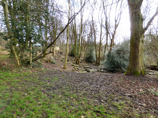
Image: © Gerald England Taken: 15 Feb 2018
It seems to be gradually sinking towards the Gorton Brook.
Images are licensed for reuse under creativecommons.org/licenses/by-sa/2.0
Image Location
Latitude
53.45955
Longitude
-2.168642