Footpath to Wolsey Way, Glebe Park
Introduction
The photograph on this page of Footpath to Wolsey Way, Glebe Park by Richard Vince as part of the Geograph project.
The Geograph project started in 2005 with the aim of publishing, organising and preserving representative images for every square kilometre of Great Britain, Ireland and the Isle of Man.

There are currently over 7.5m images from over 14,400 individuals and you can help contribute to the project by visiting https://www.geograph.org.uk
Footpath to Wolsey Way, Glebe Park
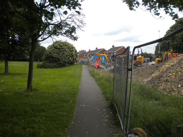
Image: © Richard Vince Taken: 16 Jun 2018
Providing a means for pedestrians to cut off a corner when walking from Bunkers Hill (behind the photographer) into Wolsey Way, the south end of which is closed as part of a junction rebuilding project.
Images are licensed for reuse under creativecommons.org/licenses/by-sa/2.0
Image Location
Latitude
53.243517
Longitude
-0.508772