Camlough Lake
Introduction
The photograph on this page of Camlough Lake by Eric Jones as part of the Geograph project.
The Geograph project started in 2005 with the aim of publishing, organising and preserving representative images for every square kilometre of Great Britain, Ireland and the Isle of Man.

There are currently over 7.5m images from over 14,400 individuals and you can help contribute to the project by visiting https://www.geograph.org.uk
Camlough Lake
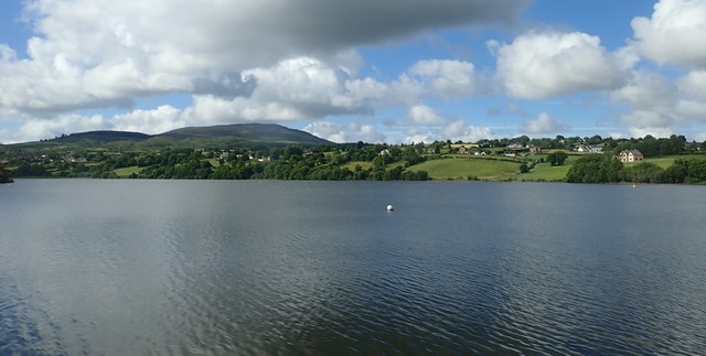
Image: © Eric Jones Taken: 21 Jun 2018
This a fault guided glacially deepened ribbon lake. The presence of the Cam Lough Fault made the area vulnerable to glacial erosion and the lake follows the line of the fault. The hill in the background is Slieve Gullion. https://www.ringofgullion.org/geology/camlough-lake/
Images are licensed for reuse under creativecommons.org/licenses/by-sa/2.0
Image Location
Latitude
54.165906
Longitude
-6.426821