Lane to Kennford
Introduction
The photograph on this page of Lane to Kennford by Derek Harper as part of the Geograph project.
The Geograph project started in 2005 with the aim of publishing, organising and preserving representative images for every square kilometre of Great Britain, Ireland and the Isle of Man.

There are currently over 7.5m images from over 14,400 individuals and you can help contribute to the project by visiting https://www.geograph.org.uk
Lane to Kennford
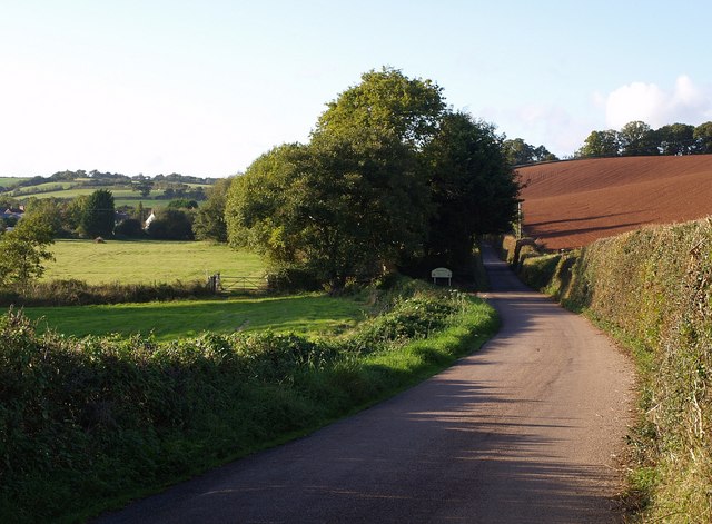
Image: © Derek Harper Taken: 9 Oct 2007
The scene in Image, taken from a little further along the lane. The gate on the left is at a bridge across the River Kenn. The red ploughed field on the right is shown in Image Buildings at Kennford can be seen on the left.
Images are licensed for reuse under creativecommons.org/licenses/by-sa/2.0
Image Location
Latitude
50.665222
Longitude
-3.531067