Lawn House, Low Houses, Grinton
Introduction
The photograph on this page of Lawn House, Low Houses, Grinton by Andrew Curtis as part of the Geograph project.
The Geograph project started in 2005 with the aim of publishing, organising and preserving representative images for every square kilometre of Great Britain, Ireland and the Isle of Man.

There are currently over 7.5m images from over 14,400 individuals and you can help contribute to the project by visiting https://www.geograph.org.uk
Lawn House, Low Houses, Grinton
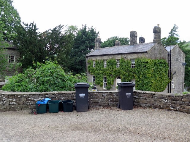
Image: © Andrew Curtis Taken: 13 Jun 2018
Early C19 house, Grade II Listed (List Entry Number: 1130815) https://www.historicengland.org.uk/listing/the-list/list-entry/1130815
Images are licensed for reuse under creativecommons.org/licenses/by-sa/2.0
Image Location
Latitude
54.371386
Longitude
-2.029366