Road leading to Aggregate Industries siding and yard
Introduction
The photograph on this page of Road leading to Aggregate Industries siding and yard by Marathon as part of the Geograph project.
The Geograph project started in 2005 with the aim of publishing, organising and preserving representative images for every square kilometre of Great Britain, Ireland and the Isle of Man.

There are currently over 7.5m images from over 14,400 individuals and you can help contribute to the project by visiting https://www.geograph.org.uk
Road leading to Aggregate Industries siding and yard
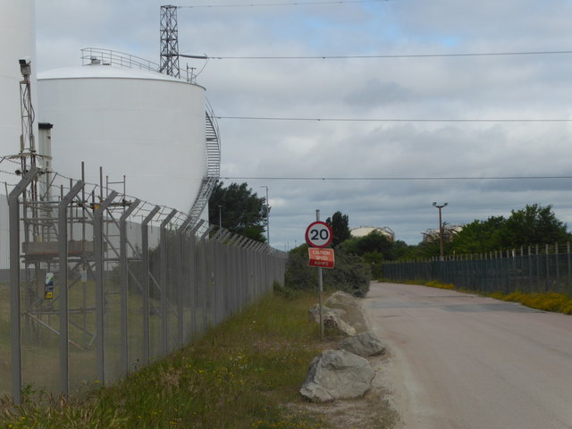
Image: © Marathon Taken: 18 Jun 2018
On the other side of the fence on the right is the railway line which also leads to Aggregate Industries siding and yard. On the left is the new Combined Cycle Gas Turbine plant at Grain on the site of the old power station - see https://www.geograph.org.uk/photo/5815558
Images are licensed for reuse under creativecommons.org/licenses/by-sa/2.0
Image Location
Latitude
51.440112
Longitude
0.690983