73 High Street, Albrighton
Introduction
The photograph on this page of 73 High Street, Albrighton by Richard Law as part of the Geograph project.
The Geograph project started in 2005 with the aim of publishing, organising and preserving representative images for every square kilometre of Great Britain, Ireland and the Isle of Man.

There are currently over 7.5m images from over 14,400 individuals and you can help contribute to the project by visiting https://www.geograph.org.uk
73 High Street, Albrighton
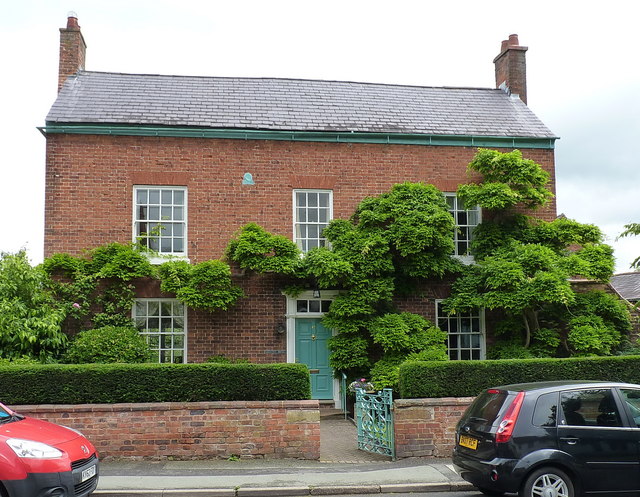
Image: © Richard Law Taken: 16 Jun 2018
A late 18th century town house, which was Grade II listed https://www.britishlistedbuildings.co.uk/101053698-73-high-street-albrighton#.WywFSdQrLGg in 1984. The 'Birmingham District' fire insurance plate on the upper front wall between the left and central windows is included in the listing details.
Images are licensed for reuse under creativecommons.org/licenses/by-sa/2.0
Image Location
Latitude
52.633969
Longitude
-2.27582