The Hop Pole (Leominster)
Introduction
The photograph on this page of The Hop Pole (Leominster) by Fabian Musto as part of the Geograph project.
The Geograph project started in 2005 with the aim of publishing, organising and preserving representative images for every square kilometre of Great Britain, Ireland and the Isle of Man.

There are currently over 7.5m images from over 14,400 individuals and you can help contribute to the project by visiting https://www.geograph.org.uk
The Hop Pole (Leominster)
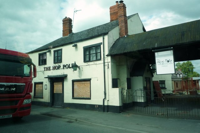
Image: © Fabian Musto Taken: 20 Jun 2018
Here is The Hop Pole public house, which closed two years ago around 2016. It still looks alright, but the windows have seen better days.
Images are licensed for reuse under creativecommons.org/licenses/by-sa/2.0
Image Location


Leaflet Map data © OpenStreetMap
Latitude
52.231011
Longitude
-2.740531