National Cycle Route 20, north of Brighton
Introduction
The photograph on this page of National Cycle Route 20, north of Brighton by Peter Holmes as part of the Geograph project.
The Geograph project started in 2005 with the aim of publishing, organising and preserving representative images for every square kilometre of Great Britain, Ireland and the Isle of Man.

There are currently over 7.5m images from over 14,400 individuals and you can help contribute to the project by visiting https://www.geograph.org.uk
National Cycle Route 20, north of Brighton
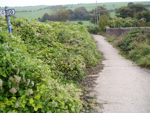
Image: © Peter Holmes Taken: 6 Oct 2007
The Crawley to Brighton section of National Cycle Network Route 20 is open as part of the Downs and Weald Cycle Route. Here it crosses the London to Brighton railway line just north of the intersection between the A23 & A27. Route 20 is intended to link the River Thames at Wandsworth with Brighton.
Images are licensed for reuse under creativecommons.org/licenses/by-sa/2.0
Image Location
Latitude
50.871952
Longitude
-0.161461