Marsh Lane at Bank Top
Introduction
The photograph on this page of Marsh Lane at Bank Top by Peter Wood as part of the Geograph project.
The Geograph project started in 2005 with the aim of publishing, organising and preserving representative images for every square kilometre of Great Britain, Ireland and the Isle of Man.

There are currently over 7.5m images from over 14,400 individuals and you can help contribute to the project by visiting https://www.geograph.org.uk
Marsh Lane at Bank Top
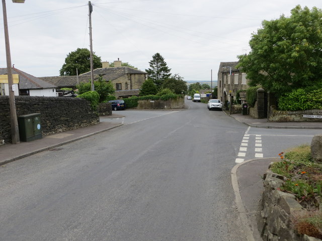
Image: © Peter Wood Taken: 19 Jun 2018
Looking eastward. Three other roads join at this location - Common Lane (right), Bankfield Gardens (1st left) and Long Lane (2nd left).
Images are licensed for reuse under creativecommons.org/licenses/by-sa/2.0
Image Location
Latitude
53.717375
Longitude
-1.841162