Church Road
Introduction
The photograph on this page of Church Road by Anne Burgess as part of the Geograph project.
The Geograph project started in 2005 with the aim of publishing, organising and preserving representative images for every square kilometre of Great Britain, Ireland and the Isle of Man.

There are currently over 7.5m images from over 14,400 individuals and you can help contribute to the project by visiting https://www.geograph.org.uk
Church Road
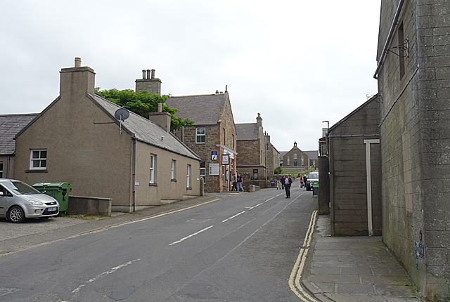
Image: © Anne Burgess Taken: 10 Jun 2018
On the right is Doull's general store, with car park opposite. Further up the street, on the left, is Robertson's restaurant, and at the top of the brae is the parish kirk serving Burray and South Ronaldsay.
Images are licensed for reuse under creativecommons.org/licenses/by-sa/2.0
Image Location
Latitude
58.825079
Longitude
-2.956286