Forge and church, Kenn
Introduction
The photograph on this page of Forge and church, Kenn by Derek Harper as part of the Geograph project.
The Geograph project started in 2005 with the aim of publishing, organising and preserving representative images for every square kilometre of Great Britain, Ireland and the Isle of Man.

There are currently over 7.5m images from over 14,400 individuals and you can help contribute to the project by visiting https://www.geograph.org.uk
Forge and church, Kenn
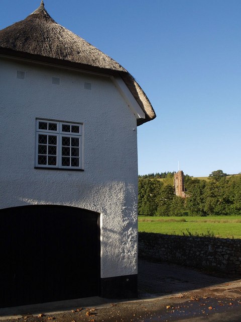
Image: © Derek Harper Taken: 9 Oct 2007
The thatched Old Forge is at the lower end of the main village street; Image lies separately with a few other buildings beyond the River Kenn and its floodplain.
Images are licensed for reuse under creativecommons.org/licenses/by-sa/2.0
Image Location
Latitude
50.659064
Longitude
-3.527471