Track to Thornleigh Park Farm
Introduction
The photograph on this page of Track to Thornleigh Park Farm by Stephen McKay as part of the Geograph project.
The Geograph project started in 2005 with the aim of publishing, organising and preserving representative images for every square kilometre of Great Britain, Ireland and the Isle of Man.

There are currently over 7.5m images from over 14,400 individuals and you can help contribute to the project by visiting https://www.geograph.org.uk
Track to Thornleigh Park Farm
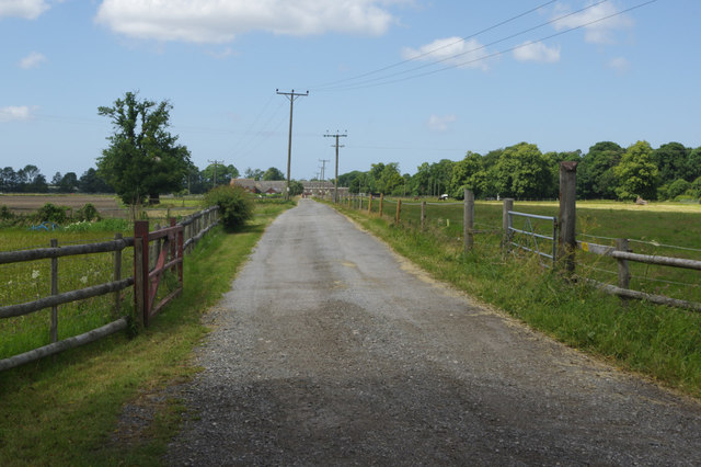
Image: © Stephen McKay Taken: 14 Jun 2018
The track crosses dead flat countryside leading off Ferry Lane, an area that was part of the Dee estuary until the river was diverted in the 18th century. There is a caravan site on the working farm.
Images are licensed for reuse under creativecommons.org/licenses/by-sa/2.0
Image Location
Latitude
53.190878
Longitude
-2.940764