Southend-Rochford boundary
Introduction
The photograph on this page of Southend-Rochford boundary by David Kemp as part of the Geograph project.
The Geograph project started in 2005 with the aim of publishing, organising and preserving representative images for every square kilometre of Great Britain, Ireland and the Isle of Man.

There are currently over 7.5m images from over 14,400 individuals and you can help contribute to the project by visiting https://www.geograph.org.uk
Southend-Rochford boundary
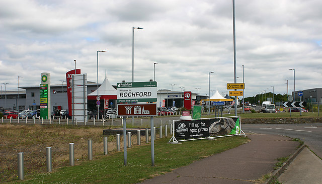
Image: © David Kemp Taken: 19 Jun 2018
Taken from just within Southend in Cherry Orchard Way. This part of the gridsquare, until fairly recently the bleak remains of a former brickfield, now houses the Toomey Automotive Park some of which can be seen just to the left of the roundabout.
Images are licensed for reuse under creativecommons.org/licenses/by-sa/2.0
Image Location
Latitude
51.569776
Longitude
0.680307