Woodland path in Cranford Countryside Park
Introduction
The photograph on this page of Woodland path in Cranford Countryside Park by Marathon as part of the Geograph project.
The Geograph project started in 2005 with the aim of publishing, organising and preserving representative images for every square kilometre of Great Britain, Ireland and the Isle of Man.

There are currently over 7.5m images from over 14,400 individuals and you can help contribute to the project by visiting https://www.geograph.org.uk
Woodland path in Cranford Countryside Park
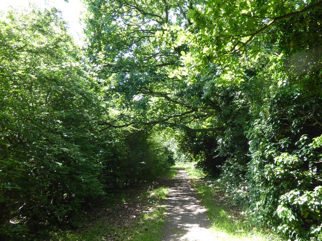
Image: © Marathon Taken: 6 Jun 2018
Cranford House was the seat of the Berkeleys up until the end of the 19th century. The early Georgian mansion was demolished in 1945 at the end of the Second World War which was about the time that the park came into public ownership. The 18th century stable and barn block survive, as do the cellars of the old house, and the old parish church of Cranford. St Dunstan's Church dates from the 15th and 17th centuries and is approached through a lych gate by the stable block. There is also a ha-ha, a large walled garden, the site of an ice house, and some ancient woodland. This woodland is along the western edge of the park. A feeder stream of the River Crane is longside to the right and Cranford Lane is a short distance ahead..
Images are licensed for reuse under creativecommons.org/licenses/by-sa/2.0
Image Location
Latitude
51.485347
Longitude
-0.419626