Mill by the Ivel
Introduction
The photograph on this page of Mill by the Ivel by Des Blenkinsopp as part of the Geograph project.
The Geograph project started in 2005 with the aim of publishing, organising and preserving representative images for every square kilometre of Great Britain, Ireland and the Isle of Man.

There are currently over 7.5m images from over 14,400 individuals and you can help contribute to the project by visiting https://www.geograph.org.uk
Mill by the Ivel
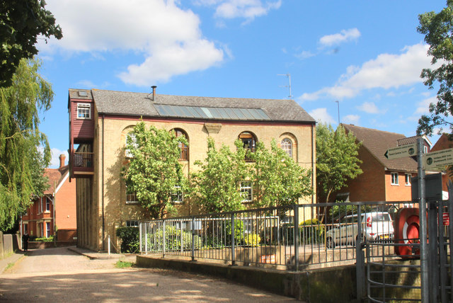
Image: © Des Blenkinsopp Taken: 14 Jun 2018
At the end of Mill Lane beside the former River Ivel Navigation. The building is now residential.
Images are licensed for reuse under creativecommons.org/licenses/by-sa/2.0
Image Location
Latitude
52.085307
Longitude
-0.267891