Slope above Gruggies Burn
Introduction
The photograph on this page of Slope above Gruggies Burn by Lairich Rig as part of the Geograph project.
The Geograph project started in 2005 with the aim of publishing, organising and preserving representative images for every square kilometre of Great Britain, Ireland and the Isle of Man.

There are currently over 7.5m images from over 14,400 individuals and you can help contribute to the project by visiting https://www.geograph.org.uk
Slope above Gruggies Burn
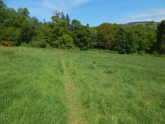
Image: © Lairich Rig Taken: 25 May 2018
The faint path leads down from an Image (in fact, from about the place from which that picture was taken). The 1:25000 map shows the woodland edge that can be seen ahead. See Image for a view from further along the path.
Images are licensed for reuse under creativecommons.org/licenses/by-sa/2.0
Image Location
Latitude
55.949251
Longitude
-4.536978