The curve at Vandyke Road. Leighton Buzzard Railway
Introduction
The photograph on this page of The curve at Vandyke Road. Leighton Buzzard Railway by Robert Eva as part of the Geograph project.
The Geograph project started in 2005 with the aim of publishing, organising and preserving representative images for every square kilometre of Great Britain, Ireland and the Isle of Man.

There are currently over 7.5m images from over 14,400 individuals and you can help contribute to the project by visiting https://www.geograph.org.uk
The curve at Vandyke Road. Leighton Buzzard Railway
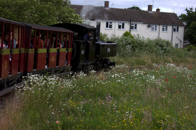
Image: © Robert Eva Taken: 17 Jun 2018
A 45 degree bend around a patch of meadowland near Vandyke Road.
Images are licensed for reuse under creativecommons.org/licenses/by-sa/2.0
Image Location
Latitude
51.926015
Longitude
-0.648523