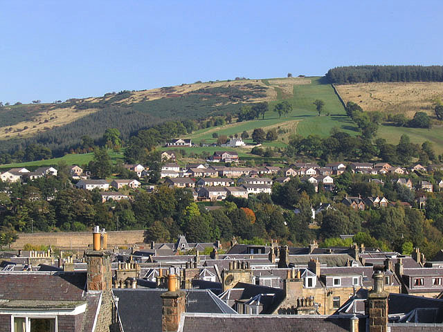
Roof tops in Galashiels
Introduction
The photograph on this page of Roof tops in Galashiels by Walter Baxter as part of the Geograph project.
The Geograph project started in 2005 with the aim of publishing, organising and preserving representative images for every square kilometre of Great Britain, Ireland and the Isle of Man.
There are currently over 7.5m images from over 14,400 individuals and you can help contribute to the project by visiting https://www.geograph.org.uk

Image: © Walter Baxter Taken: 10 Oct 2007
Viewed from Eildon Street on the southwest side of the town, this shows various roofs on houses in Thistle Street, Victoria Street, Lintburn Street and Gala Park. The houses beyond were built in the 1980s on the former Ladhope Estate. The building in the background centre left is the clubhouse for Galashiels Golf Course, see Image The course is very hilly, especially the second nine holes, as can be appreciated by the 10th hole going up by the wall on the right. Hard on the lungs going up and hard on the knees coming down, but the views from the top on a good day are worth the effort.

