Cherry Tree Cottage
Introduction
The photograph on this page of Cherry Tree Cottage by Robin Webster as part of the Geograph project.
The Geograph project started in 2005 with the aim of publishing, organising and preserving representative images for every square kilometre of Great Britain, Ireland and the Isle of Man.

There are currently over 7.5m images from over 14,400 individuals and you can help contribute to the project by visiting https://www.geograph.org.uk
Cherry Tree Cottage
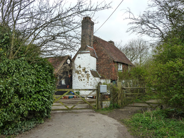
Image: © Robin Webster Taken: 22 Mar 2011
There is a plaque on it - 'Building of special interest', and indeed it is a grade II listed building, 17th century.
Images are licensed for reuse under creativecommons.org/licenses/by-sa/2.0
Image Location


Leaflet Map data © OpenStreetMap
Latitude
51.173904
Longitude
-0.314136