The information board explaining about Abel's Acre, Faversham
Introduction
The photograph on this page of The information board explaining about Abel's Acre, Faversham by Marathon as part of the Geograph project.
The Geograph project started in 2005 with the aim of publishing, organising and preserving representative images for every square kilometre of Great Britain, Ireland and the Isle of Man.

There are currently over 7.5m images from over 14,400 individuals and you can help contribute to the project by visiting https://www.geograph.org.uk
The information board explaining about Abel's Acre, Faversham
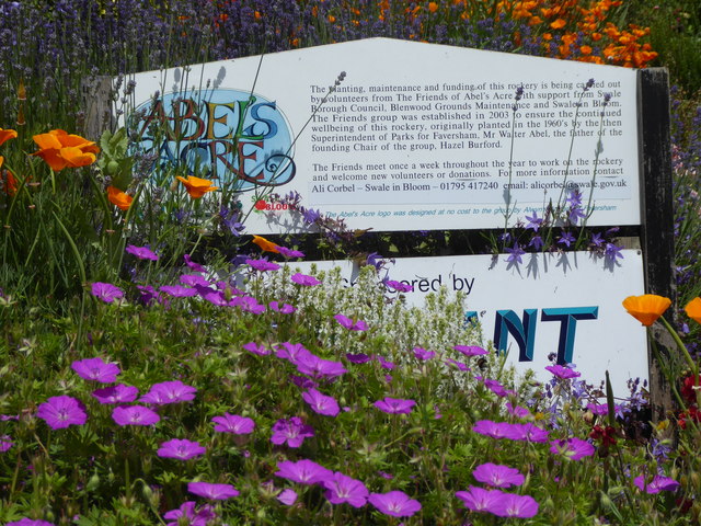
Image: © Marathon Taken: 11 Jun 2018
The impressive rock garden of Abel's Acre can be seen at http://www.geograph.org.uk/photo/5811159 The website for The Friends of Abel's Acre can be visited at http://www.faversham.org/community/green/friends_of_abels_acre.aspx
Images are licensed for reuse under creativecommons.org/licenses/by-sa/2.0
Image Location
Latitude
51.312464
Longitude
0.888294