Sewer improvements, Belfast - June 2018(2)
Introduction
The photograph on this page of Sewer improvements, Belfast - June 2018(2) by Albert Bridge as part of the Geograph project.
The Geograph project started in 2005 with the aim of publishing, organising and preserving representative images for every square kilometre of Great Britain, Ireland and the Isle of Man.

There are currently over 7.5m images from over 14,400 individuals and you can help contribute to the project by visiting https://www.geograph.org.uk
Sewer improvements, Belfast - June 2018(2)
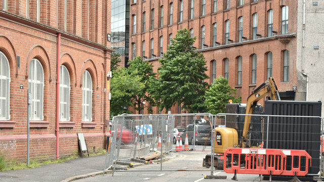
Image: © Albert Bridge Taken: 17 Jun 2018
Maryville Street (looking towards Ormeau Avenue) is currently closed to motor traffic to accommodate the works. The 1832/46 map shows that this was the site of a reservoir. The 1846/52 edition describes it as “basin” just to the north of Basin Lane (today’s Bankmore Street).
Images are licensed for reuse under creativecommons.org/licenses/by-sa/2.0
Image Location
Latitude
54.592645
Longitude
-5.929846