Rock Lane
Introduction
The photograph on this page of Rock Lane by Ian Capper as part of the Geograph project.
The Geograph project started in 2005 with the aim of publishing, organising and preserving representative images for every square kilometre of Great Britain, Ireland and the Isle of Man.

There are currently over 7.5m images from over 14,400 individuals and you can help contribute to the project by visiting https://www.geograph.org.uk
Rock Lane
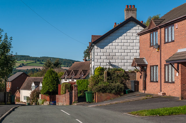
Image: © Ian Capper Taken: 4 Oct 2010
Historically Rock Lane was a track leading from Lower Galdeford to Rock Farm, but only the lower part, seen here, has retained the original name, the middle part having been renamed Riddings Road and the upper part remaining as a public footpath. In the background can be seen the Elan Valley Aqueduct Siphon Inlet House at North Farm above Whitcliffe.
Images are licensed for reuse under creativecommons.org/licenses/by-sa/2.0
Image Location
Latitude
52.369244
Longitude
-2.707386