Whitworth Street West
Introduction
The photograph on this page of Whitworth Street West by Gerald England as part of the Geograph project.
The Geograph project started in 2005 with the aim of publishing, organising and preserving representative images for every square kilometre of Great Britain, Ireland and the Isle of Man.

There are currently over 7.5m images from over 14,400 individuals and you can help contribute to the project by visiting https://www.geograph.org.uk
Whitworth Street West
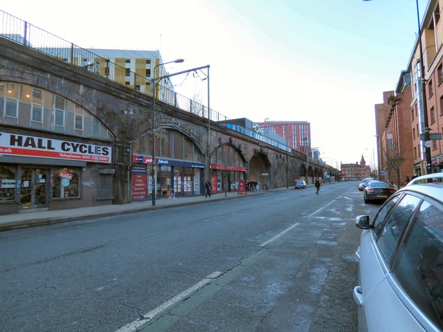
Image: © Gerald England Taken: 6 Jan 2018
The former A57 (now B6469) runs parallel to the railway viaduct between Oxford Road and Deansgate. Through the arches Jack Rosenthal Street leads into the "First Street" development and the HOME arts complex.
Images are licensed for reuse under creativecommons.org/licenses/by-sa/2.0
Image Location
Latitude
53.473888
Longitude
-2.245384