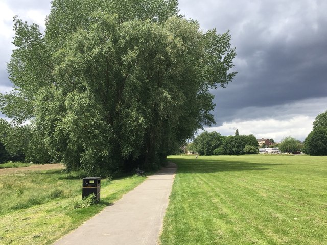
West through Babb's Mill Recreation Ground, Kingshurst, east Birmingham
Introduction
The photograph on this page of West through Babb's Mill Recreation Ground, Kingshurst, east Birmingham by Robin Stott as part of the Geograph project.
The Geograph project started in 2005 with the aim of publishing, organising and preserving representative images for every square kilometre of Great Britain, Ireland and the Isle of Man.
There are currently over 7.5m images from over 14,400 individuals and you can help contribute to the project by visiting https://www.geograph.org.uk

Image: © Robin Stott Taken: 15 Jun 2018
In shadow, far left, is the River Cole. Behind the trees, right, is Fordbridge Road off which there is a free car park for the recreation ground, behind the camera. Seen between the trees is St Anthony's Catholic Primary School. The open space is also signed Babb's Mill Jubilee Park and Babb's Mill Local Nature Reserve. Poplars and willows planted for quick effect years ago are now in need of management.

