Radfall Road at Gypsy Corner
Introduction
The photograph on this page of Radfall Road at Gypsy Corner by Marathon as part of the Geograph project.
The Geograph project started in 2005 with the aim of publishing, organising and preserving representative images for every square kilometre of Great Britain, Ireland and the Isle of Man.

There are currently over 7.5m images from over 14,400 individuals and you can help contribute to the project by visiting https://www.geograph.org.uk
Radfall Road at Gypsy Corner
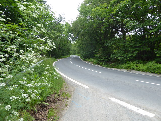
Image: © Marathon Taken: 9 Jun 2018
Clowes Wood to the left here is one of several large woodlands north of Canterbury known as the Blean. This is one of the most important areas of ancient woodland in Britain, including woodland types of international importance. The Blean was traditionally coppiced and parts of Clowes Wood are still managed in this way. One of the rarer trees here is the small-leaved lime. It grows in just one location here but was once one of the commonest trees in southern England. Its decline is thought to be due to the effects of grazing animals and a change in the climate. This looks along Radfall Road with Clowes Wood on the left and Thornden Wood across the road to the right. For more about Blean Wood National Nature Reserve - see https://explorekent.org/activities/blean-woods-national-nature-reserve/
Images are licensed for reuse under creativecommons.org/licenses/by-sa/2.0
Image Location
Latitude
51.326919
Longitude
1.066069