Looking northwest from Merrygill Viaduct
Introduction
The photograph on this page of Looking northwest from Merrygill Viaduct by Andy Waddington as part of the Geograph project.
The Geograph project started in 2005 with the aim of publishing, organising and preserving representative images for every square kilometre of Great Britain, Ireland and the Isle of Man.

There are currently over 7.5m images from over 14,400 individuals and you can help contribute to the project by visiting https://www.geograph.org.uk
Looking northwest from Merrygill Viaduct
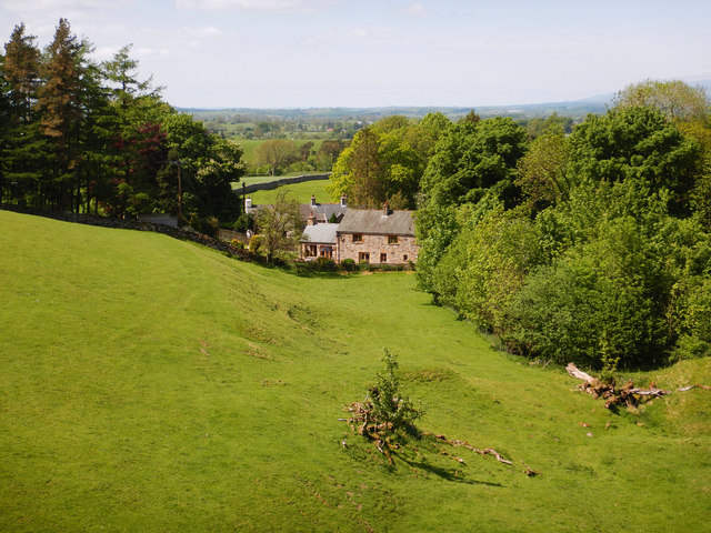
Image: © Andy Waddington Taken: 22 May 2018
Looking down over pasture to the outlying farms of Hartley, from the parapet of Merrygill viaduct (now owned by the Northern Viaduct Trust). Hartley Beck is the stream crossed and this flows among the trees to the right of the photo, on its way down to the River Eden through rich farmland. Having been bothered by the RAF earlier in the day, persistently flying noisy circles over the Warcop training area, we were treated to a much smaller flying display here, as a young man was piloting a small drone taking aerial footage over the viaduct. His approach to safety was admirable, with lots of warning signs so that we weren't surprised by the remotely operated aircraft.
Images are licensed for reuse under creativecommons.org/licenses/by-sa/2.0
Image Location
Latitude
54.470946
Longitude
-2.336493