Boddam pensioners' hut
Introduction
The photograph on this page of Boddam pensioners' hut by Bill Harrison as part of the Geograph project.
The Geograph project started in 2005 with the aim of publishing, organising and preserving representative images for every square kilometre of Great Britain, Ireland and the Isle of Man.

There are currently over 7.5m images from over 14,400 individuals and you can help contribute to the project by visiting https://www.geograph.org.uk
Boddam pensioners' hut
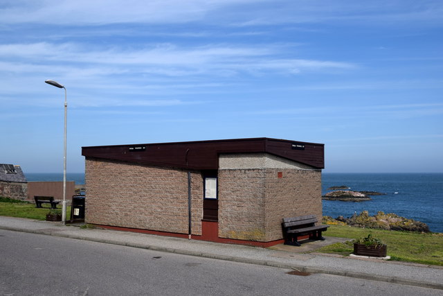
Image: © Bill Harrison Taken: 19 May 2018
Looking in from the other side, there are windows with a fine sea view, comfy chairs and the all-important kettle. The building is also used by the Boddam community council for its meetings.
Images are licensed for reuse under creativecommons.org/licenses/by-sa/2.0
Image Location
Latitude
57.472028
Longitude
-1.777738