Sandy Lane, Saltney
Introduction
The photograph on this page of Sandy Lane, Saltney by Stephen McKay as part of the Geograph project.
The Geograph project started in 2005 with the aim of publishing, organising and preserving representative images for every square kilometre of Great Britain, Ireland and the Isle of Man.

There are currently over 7.5m images from over 14,400 individuals and you can help contribute to the project by visiting https://www.geograph.org.uk
Sandy Lane, Saltney
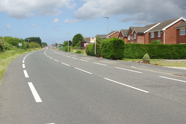
Image: © Stephen McKay Taken: 14 Jun 2018
Seen from the junction with Boundary Lane. Broad and straight, Sandy Lane seems out of keeping with other roads in Saltney - the explanation for this anomaly is given here: Image
Images are licensed for reuse under creativecommons.org/licenses/by-sa/2.0
Image Location
Latitude
53.170894
Longitude
-2.932847