Quavey Well
Introduction
The photograph on this page of Quavey Well by David Martin as part of the Geograph project.
The Geograph project started in 2005 with the aim of publishing, organising and preserving representative images for every square kilometre of Great Britain, Ireland and the Isle of Man.

There are currently over 7.5m images from over 14,400 individuals and you can help contribute to the project by visiting https://www.geograph.org.uk
Quavey Well
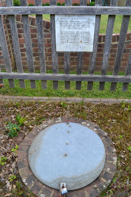
Image: © David Martin Taken: 15 Jun 2018
The sign says that the well was dug in 1900 and was still in regular use until the early 1950s. It was last refurbished in 2004.
Images are licensed for reuse under creativecommons.org/licenses/by-sa/2.0
Image Location


Leaflet Map data © OpenStreetMap
Latitude
50.985434
Longitude
-1.710179