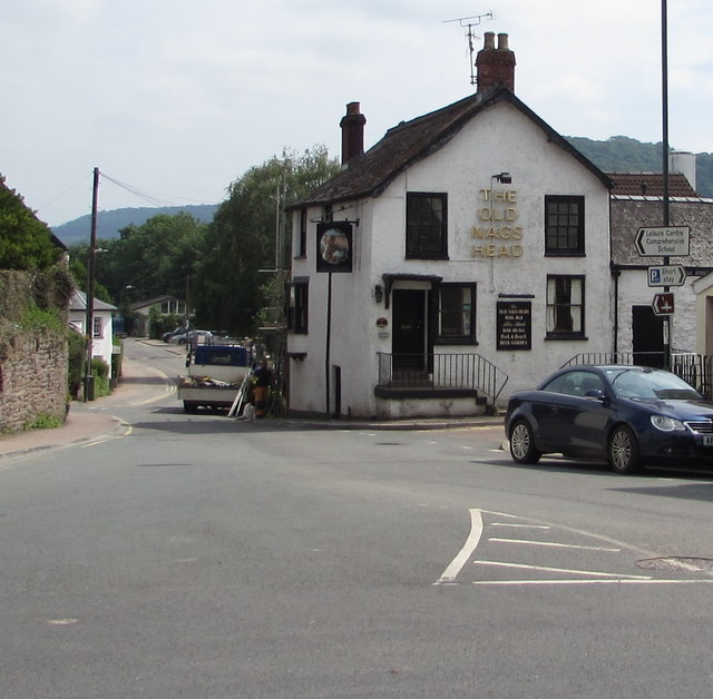
Old Nags Head, Monmouth
Introduction
The photograph on this page of Old Nags Head, Monmouth by Jaggery as part of the Geograph project.
The Geograph project started in 2005 with the aim of publishing, organising and preserving representative images for every square kilometre of Great Britain, Ireland and the Isle of Man.
There are currently over 7.5m images from over 14,400 individuals and you can help contribute to the project by visiting https://www.geograph.org.uk

Image: © Jaggery Taken: 10 Jun 2018
Pub on the corner of Old Dixton Road and Granville Street. http://www.geograph.org.uk/photo/4227975 to the name sign. Cadw records that the early 19th century building incorporates in its structure remains of a tower of the eastern or Dixton Gate of the town. The medieval work is probably 15th century. How much fabric from this date survives in the present building is unknown. The Dixton Gate was otherwise demolished probably in the 18th century and was replaced by a turnpike gate further down the street. The Old Nags Head is Grade II (star) listed.

