Boundary Lane, Saltney
Introduction
The photograph on this page of Boundary Lane, Saltney by Stephen McKay as part of the Geograph project.
The Geograph project started in 2005 with the aim of publishing, organising and preserving representative images for every square kilometre of Great Britain, Ireland and the Isle of Man.

There are currently over 7.5m images from over 14,400 individuals and you can help contribute to the project by visiting https://www.geograph.org.uk
Boundary Lane, Saltney
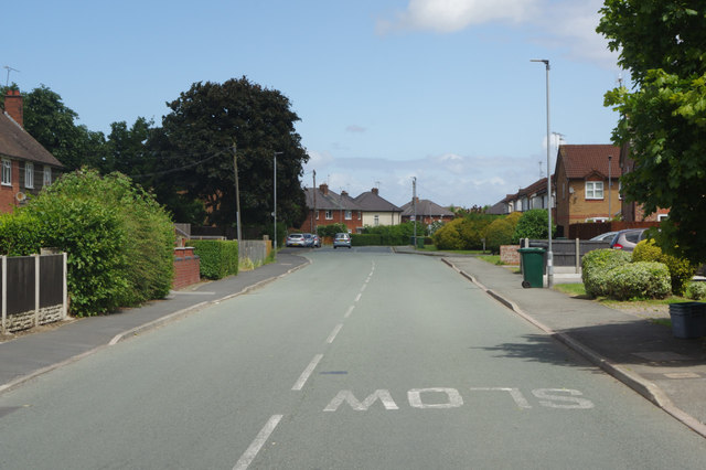
Image: © Stephen McKay Taken: 14 Jun 2018
The border between England and Wales runs along this road so that the houses on the left are in Flintshire and those on the right are in the West Cheshire and Chester unitary authority area.
Images are licensed for reuse under creativecommons.org/licenses/by-sa/2.0
Image Location
Latitude
53.172107
Longitude
-2.927188