Field near Lower Hole
Introduction
The photograph on this page of Field near Lower Hole by Derek Harper as part of the Geograph project.
The Geograph project started in 2005 with the aim of publishing, organising and preserving representative images for every square kilometre of Great Britain, Ireland and the Isle of Man.

There are currently over 7.5m images from over 14,400 individuals and you can help contribute to the project by visiting https://www.geograph.org.uk
Field near Lower Hole
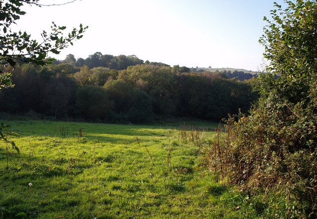
Image: © Derek Harper Taken: 5 Oct 2007
The view over the gate to the left referred to in Image Woodland seems to have encroached considerably into this field, which slopes to the small stream that runs between the three farms at Hole. The woodland beyond is around Little Tor.
Images are licensed for reuse under creativecommons.org/licenses/by-sa/2.0
Image Location
Latitude
50.657666
Longitude
-3.67499