View down Hawthorn Hill
Introduction
The photograph on this page of View down Hawthorn Hill by Des Blenkinsopp as part of the Geograph project.
The Geograph project started in 2005 with the aim of publishing, organising and preserving representative images for every square kilometre of Great Britain, Ireland and the Isle of Man.

There are currently over 7.5m images from over 14,400 individuals and you can help contribute to the project by visiting https://www.geograph.org.uk
View down Hawthorn Hill
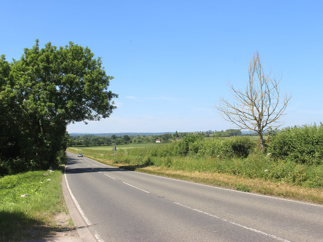
Image: © Des Blenkinsopp Taken: 11 Jun 2018
Hawthorn Hill is more of a gentle slope, around 75m aod at its highest. Even so, you can see quite a way.
Images are licensed for reuse under creativecommons.org/licenses/by-sa/2.0
Image Location
Latitude
51.462367
Longitude
-0.742443