Manor Road Recreation Ground, Teddington
Introduction
The photograph on this page of Manor Road Recreation Ground, Teddington by David Howard as part of the Geograph project.
The Geograph project started in 2005 with the aim of publishing, organising and preserving representative images for every square kilometre of Great Britain, Ireland and the Isle of Man.

There are currently over 7.5m images from over 14,400 individuals and you can help contribute to the project by visiting https://www.geograph.org.uk
Manor Road Recreation Ground, Teddington
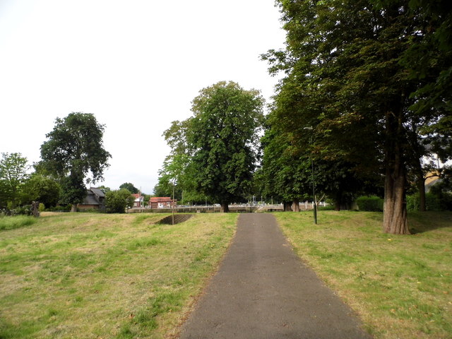
Image: © David Howard Taken: 13 Jun 2018
Overlooking the lock, the park also has a small poppy meadow on the right of the path.
Images are licensed for reuse under creativecommons.org/licenses/by-sa/2.0
Image Location
Latitude
51.430345
Longitude
-0.32471