Boundary Lane, Saltney
Introduction
The photograph on this page of Boundary Lane, Saltney by Stephen McKay as part of the Geograph project.
The Geograph project started in 2005 with the aim of publishing, organising and preserving representative images for every square kilometre of Great Britain, Ireland and the Isle of Man.

There are currently over 7.5m images from over 14,400 individuals and you can help contribute to the project by visiting https://www.geograph.org.uk
Boundary Lane, Saltney
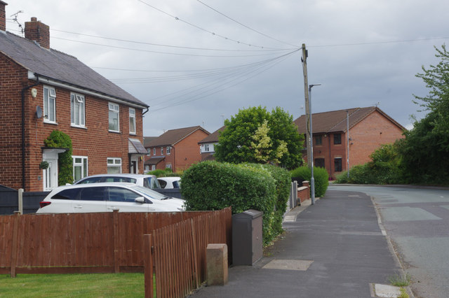
Image: © Stephen McKay Taken: 14 Jun 2018
At first glance, this might be dismissed as a wholly unremarkable slice of suburbia but the road has the distinction of running along the border between England and Wales, so the houses on the left are in Flintshire and those on the right are within the Cheshire West and Chester unitary authority area. There is nothing here to indicate this situation, although the name of the street gives a clue.
Images are licensed for reuse under creativecommons.org/licenses/by-sa/2.0
Image Location
Latitude
53.171745
Longitude
-2.92748