Cardross Road
Introduction
The photograph on this page of Cardross Road by Lairich Rig as part of the Geograph project.
The Geograph project started in 2005 with the aim of publishing, organising and preserving representative images for every square kilometre of Great Britain, Ireland and the Isle of Man.

There are currently over 7.5m images from over 14,400 individuals and you can help contribute to the project by visiting https://www.geograph.org.uk
Cardross Road
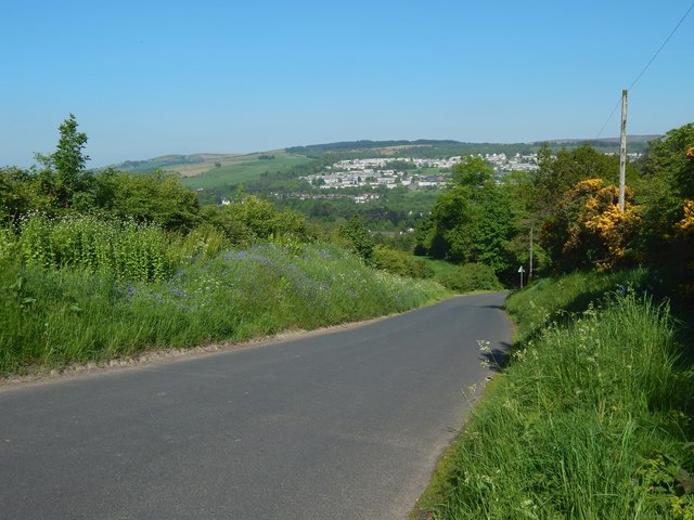
Image: © Lairich Rig Taken: 23 May 2018
This view downhill is from the corner shown not far ahead in Image The houses in the central part of the background are part of New Bonhill, with the lower slopes of Pappert Hill (partly covered by Nobleston Wood) behind them. Further to the left, and not wooded, is Auchencarroch Hill (Image).
Images are licensed for reuse under creativecommons.org/licenses/by-sa/2.0
Image Location
Latitude
55.974896
Longitude
-4.591713