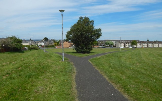
Path to Cockels Loan
Introduction
The photograph on this page of Path to Cockels Loan by Lairich Rig as part of the Geograph project.
The Geograph project started in 2005 with the aim of publishing, organising and preserving representative images for every square kilometre of Great Britain, Ireland and the Isle of Man.
There are currently over 7.5m images from over 14,400 individuals and you can help contribute to the project by visiting https://www.geograph.org.uk

Image: © Lairich Rig Taken: 19 May 2018
The path is in Image, so called after a Cockles Hill that appears on the first-edition OS map (surveyed 1857) at about Image, where there is (at the time of writing) a Shell filling station beside Paisley Road. "Cockles Hill: a hill so called having a trig station thereon it is also intersected by the turnpike road from Paisley to Renfrew" [OS Name Books, c.1860]. "Cocklees" appears (between Knock and New Mains) on the 1796 John Ainslie "Map of the County of Renfrew". It is "Cockles" on his 1821 "Map of the Southern Part of Scotland", and on John Thomson's 1832 map of Renfrewshire.

