Permissive path through Croft Glebe
Introduction
The photograph on this page of Permissive path through Croft Glebe by Tim Glover as part of the Geograph project.
The Geograph project started in 2005 with the aim of publishing, organising and preserving representative images for every square kilometre of Great Britain, Ireland and the Isle of Man.

There are currently over 7.5m images from over 14,400 individuals and you can help contribute to the project by visiting https://www.geograph.org.uk
Permissive path through Croft Glebe
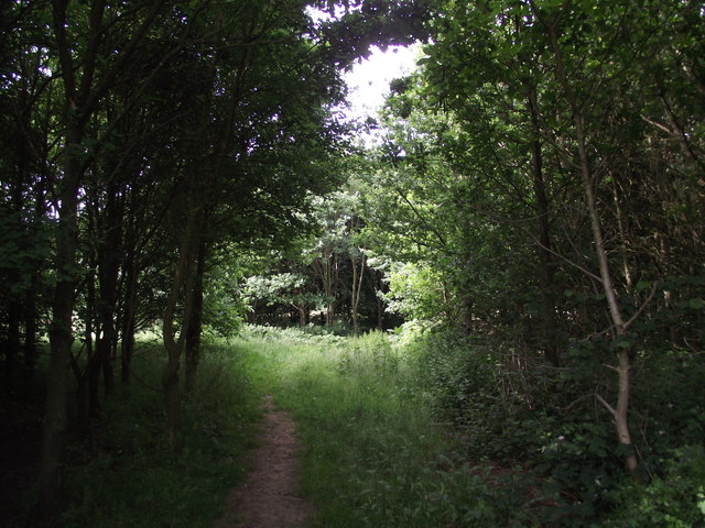
Image: © Tim Glover Taken: 13 Jun 2018
This area, managed by the Woodland Trust, was once the village cricket pitch.
Images are licensed for reuse under creativecommons.org/licenses/by-sa/2.0
Image Location
Latitude
52.560547
Longitude
-1.251335