The disused lines to Oswestry
Introduction
The photograph on this page of The disused lines to Oswestry by Richard Hoare as part of the Geograph project.
The Geograph project started in 2005 with the aim of publishing, organising and preserving representative images for every square kilometre of Great Britain, Ireland and the Isle of Man.

There are currently over 7.5m images from over 14,400 individuals and you can help contribute to the project by visiting https://www.geograph.org.uk
The disused lines to Oswestry
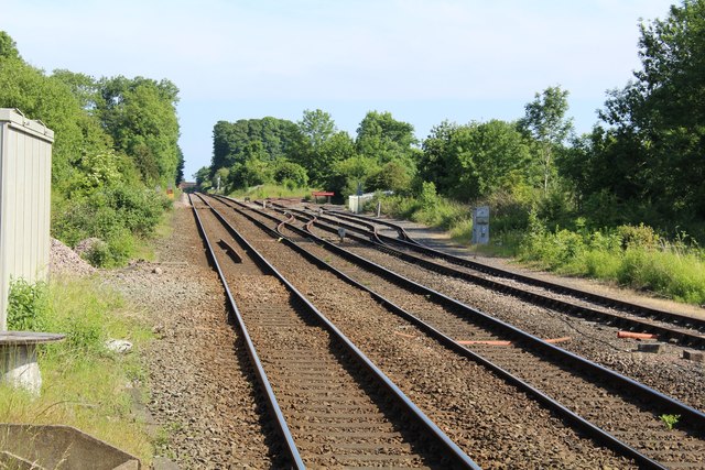
Image: © Richard Hoare Taken: 10 Jun 2018
To the right are the original junction tracks to Oswestry part of which now forms the Cambrian Heritage Railway.
Images are licensed for reuse under creativecommons.org/licenses/by-sa/2.0
Image Location
Latitude
52.890391
Longitude
-3.034423