Playground in Waye Avenue Open Space
Introduction
The photograph on this page of Playground in Waye Avenue Open Space by Marathon as part of the Geograph project.
The Geograph project started in 2005 with the aim of publishing, organising and preserving representative images for every square kilometre of Great Britain, Ireland and the Isle of Man.

There are currently over 7.5m images from over 14,400 individuals and you can help contribute to the project by visiting https://www.geograph.org.uk
Playground in Waye Avenue Open Space
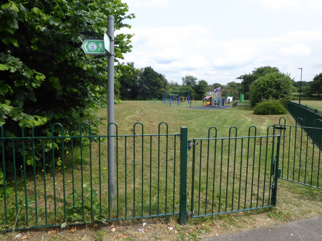
Image: © Marathon Taken: 13 Jun 2018
The London LOOP follows the eastern bank of the River Crane through Waye Avenue Open Space and then leaves the river to pass close to this playground. The history of Waye Avenue Open Space is that cattle were kept there during the winter to help graze the meadow. The old allotments have been changed into a nature area where 150 apple and other fruit trees have been planted.
Images are licensed for reuse under creativecommons.org/licenses/by-sa/2.0
Image Location
Latitude
51.475912
Longitude
-0.413472